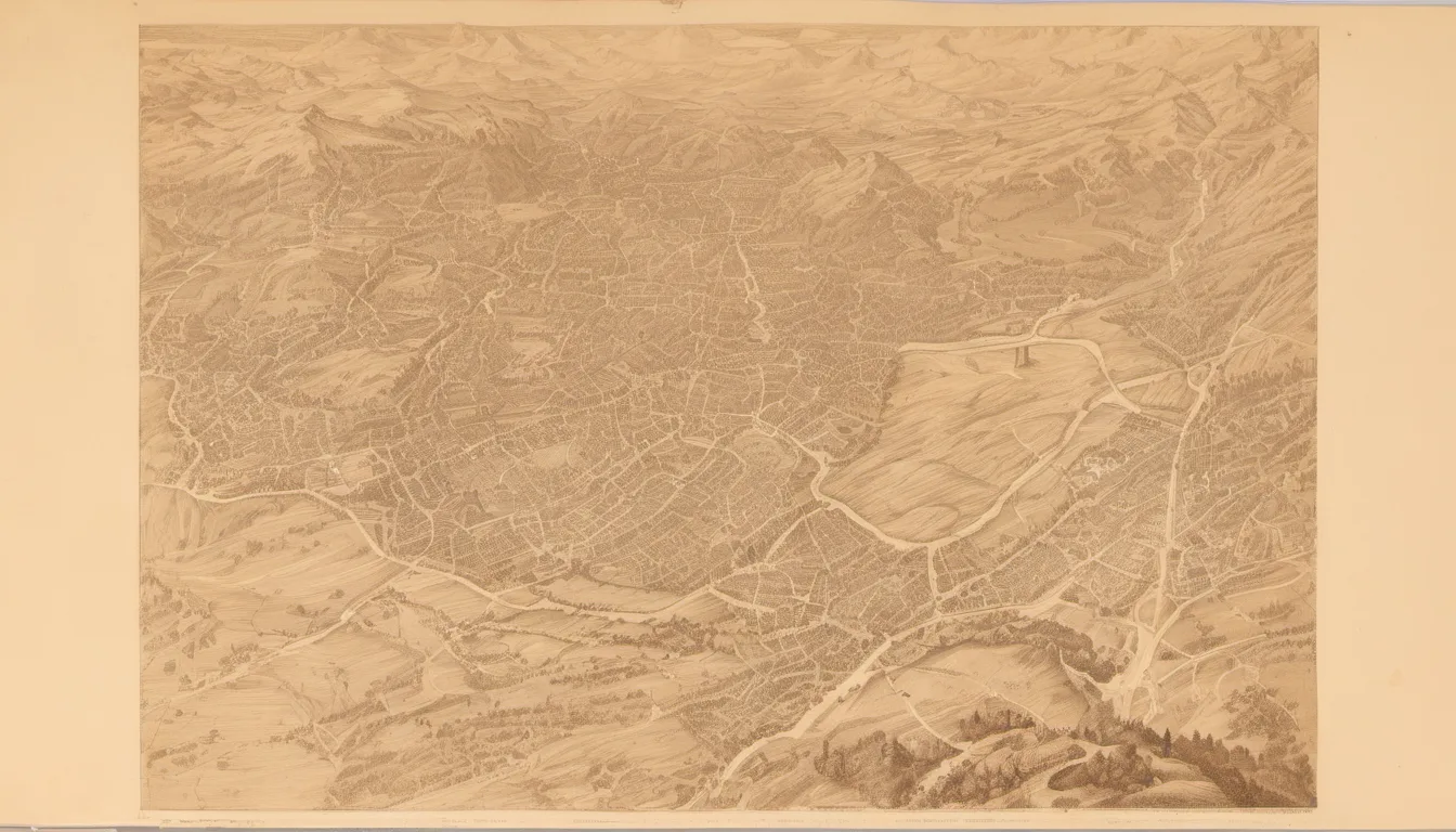
Bern, Switzerland
Bern does not announce itself with the vertical ambition of Zurich or the lakeside glamour of Geneva. It is a city of horizontal grace, built on a hilly peninsula wrapped by the Aare river. To walk here is to move through a living museum of sandstone, where the medieval layout remains intact and the pace is dictated by the curve of the river. It is the de facto capital of Switzerland, yet it retains the quiet intimacy of a town, a rare quality in a nation defined by federal complexity.
The city’s singular identity stems from its geography. The Aare loops around the Old Town in a tight horseshoe, creating a natural fortress that has preserved the urban fabric since the 12th century. This is not a reconstructed historic district; it is a continuous, inhabited medieval city. The arcades, known as Lauben, run the length of the six kilometers of streets, offering shelter from rain and sun while connecting the city’s civic heart. Walking these covered passages is the primary way to experience Bern’s unique urban rhythm, blending commerce, history, and daily life under one continuous roof.
What makes Bern matter is its stubborn preservation of the past without becoming a museum piece. The Zytglogge tower, with its astronomical clock, still marks time for the citizens, just as it did in 1256. The bear pit, a legend dating to the city’s founder’s vow, remains a central feature, though the bears themselves are now protected elsewhere. The city’s political weight is understated; it serves as the seat of government, hosting the Federal Assembly and the Federal Council, yet it refuses to let bureaucracy dominate its streets. The balance between political gravity and civic lightness is Bern’s defining characteristic.
Walking Bern rewards those who look beyond the postcard views. It is found in the uneven ground, the elevation changes between the Aare banks and the higher districts, and the quiet courtyards hidden behind sandstone facades. The city’s history is not just in its buildings but in its civic institutions, from the South Sea Company shares to the socialist congresses held during World War I. It is a city that has evolved without erasing itself, offering a walk that is as much about understanding Swiss identity as it is about seeing beautiful stone. You walk through layers of time, from Celtic oppida to modern federalism, all within a few square kilometers.
Bern, or Berne as it is known in French, occupies a unique position in the Swiss landscape. It is the de facto capital, referred to officially as the 'federal city,' yet it lacks the official title of capital, a distinction that reflects its historical compromise. With a population of approximately 146,000, it is the fifth-most populous city in Switzerland, trailing Zurich, Geneva, Basel, and Lausanne. However, its significance far exceeds its demographic weight. The Bern agglomeration, encompassing 36 municipalities, supports a population of over 400,000, while the metropolitan area reaches 660,000. This density is concentrated within a compact geographic footprint, making Bern one of the most walkable capitals in Europe.
The city’s origins are shrouded in the mists of the 12th century. Archaeological evidence suggests no settlement on the current site prior to the 12th century, though a Celtic oppidum stood on the Engehalbinsel north of Bern, fortified since the second century BC. This oppidum, one of the 12 mentioned by Caesar among the Helvetii, and a subsequent Gallo-Roman vicus, hint at the site’s ancient importance. The Bern zinc tablet, discovered in the 1980s, bears the name 'Brenodor,' meaning 'dwelling of Breno,' suggesting a pre-existing toponym of Celtic origin, possibly *berna, meaning 'cleft.' This linguistic clue supports the theory that the city was named after the geographical feature of the river bend, rather than the animal.
The medieval city proper was founded by the Zähringer ruling family, who rose to power in Upper Burgundy in the 12th century. According to 14th-century historiography, specifically the Cronica de Berno of 1309, Bern was founded in 1191 by Berthold V, Duke of Zähringen. A local legend, rooted in folk etymology, claims Berthold vowed to name the city after the first animal he met on a hunt, which turned out to be a bear (Middle High German bër). While modern scholarship favors the Celtic origin, the bear became the city’s heraldic animal, appearing on the seal and coat of arms from at least the 1220s. The earliest reference to keeping live bears in the Bärengraben dates to the 1440s, embedding the legend into the city’s physical landscape.
In 1218, after Berthold died without an heir, Bern was made a free imperial city by the Goldene Handfeste of Holy Roman Emperor Frederick II. This status allowed Bern to expand its influence and territory. In 1353, it joined the Swiss Confederacy, becoming one of its eight early cantons. Bern’s policy of sovereign territorial expansion saw it invade and conquer Aargau in 1415 and Vaud in 1536, along with other smaller territories. By the 18th century, it comprised most of what is today the canton of Bern and the canton of Vaud, making it the largest city-state north of the Alps. This expansion was marked by the construction of fortifications, including the Zytglogge tower, which marked the western boundary from 1191 until 1256.
The city’s architecture reflects its turbulent history. After a major blaze in 1405, the original wooden buildings were gradually replaced by half-timbered houses, and subsequently by the sandstone buildings that characterize the Old Town today. The Old Town, surrounded by the Aare, became a UNESCO World Heritage Site in 1983, recognized for its well-preserved medieval urban plan. The city grew out towards the west of the peninsula’s boundaries, with the Käfigturm taking over the role of western boundary marker from 1256 to 1345, followed by the Christoffelturm until 1622. During the Thirty Years' War, additional fortifications, the big and small Schanze, were built to protect the peninsula.
Bern’s political role evolved significantly in the modern era. It was occupied by French troops in 1798 during the French Revolutionary Wars, losing parts of its territory. It regained control of the Bernese Oberland in 1802 and, following the Congress of Vienna in 1814, acquired the Bernese Jura, once again becoming the largest canton until the secession of Jura in 1979. On 28 November 1848, during the revolutions that year, a majority of the new Swiss Federal Assembly deputies chose Bern as the Federal City, ahead of Zurich and Lucerne. This choice was strategic, avoiding the concentration of power in the economic powerhouse of Zurich and balancing the influence of Catholic and conservative Lucerne, which had been part of the Sonderbund war a year prior.
The city’s central location and proximity to French-speaking cantons further secured its status. Although the constitution does not define Bern as the official capital, it serves as the seat of government, hosting the Federal Assembly and the Federal Council. Bern’s political neutrality made it a hub for international congresses, particularly those of the socialist First and Second Internationals during World War I. The city’s biweekly newspaper, Gazette de Berne, printed in French from 1689 to 1798, reflected opinions often hostile to pre-revolutionary France, highlighting Bern’s role as a political actor on the European stage.
Economically, Bern has had its share of controversial ventures. During the 18th century, the city was the largest shareholder in the South Sea Company, a British joint-stock company involved in the Atlantic slave trade. This historical fact underscores the complex economic entanglements of Swiss cities during the era of colonial expansion. Despite these dark chapters, Bern’s population grew steadily, from about 5,000 in the 15th century to 12,000 by 1800, and over 60,000 by 1900. It passed the 100,000 mark in the 1920s, peaking at 165,000 in the 1960s before declining slightly to below 130,000 by 2000. As of 2017, the resident population was 142,349, with 31% being resident foreigners.
Geographically, Bern lies on the Swiss Plateau, slightly west of the center of Switzerland and 20 km north of the Bernese Alps. The countryside was formed by glaciers during the most recent ice age. The city is built on very uneven ground, with elevation differences of up to 60 meters between the inner city districts on the Aare and the higher ones like Kirchenfeld and Länggasse. The site of the old observatory marks the origin of the CH1903 coordinate system. The city’s area of 51.62 km2 includes significant forested and agricultural land, with local rivers providing all municipal water. This topography influences the city’s layout, with bridges allowing expansion beyond the Aare’s natural boundaries.
Walking Bern is an exercise in navigating this complex topography and history. The city’s climate, an oceanic type bordering on humid continental, ensures that the arcades are not just architectural features but practical necessities. The Old Town’s six kilometers of streets, covered by Lauben, offer a continuous sheltered walk that connects the city’s key landmarks. From the Zytglogge to the Bear Park, from the Federal Palace to the University, each step reveals a layer of Swiss history. Bern’s singularity lies in its ability to be a modern federal capital while maintaining the intimate, human scale of a medieval city. It is a place where history is not displayed but lived, where the river’s curve dictates the city’s form, and where the past is present in every stone.