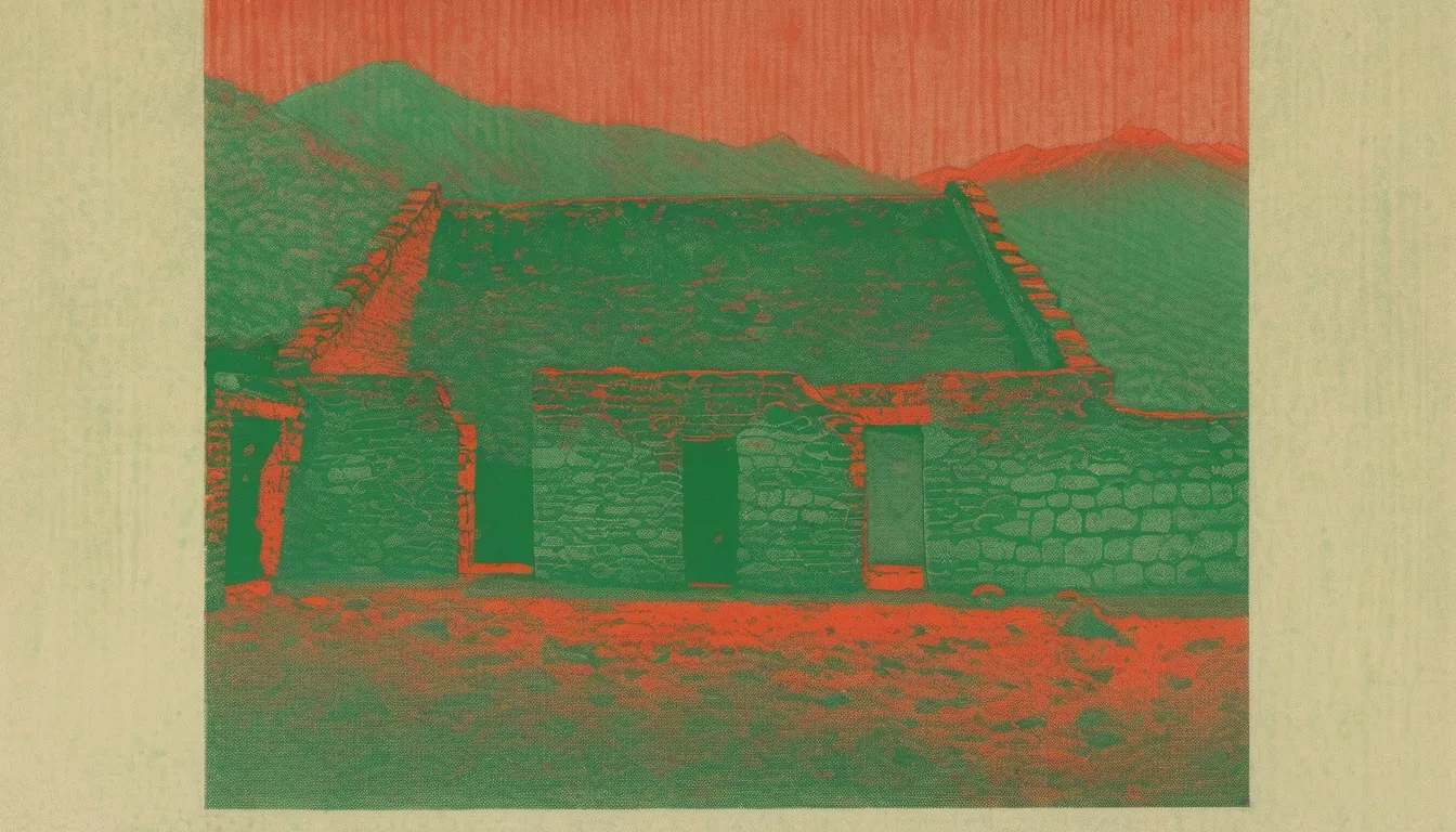
Choquequirao, Peru
Choquequirao does not announce itself. It waits, perched on a southwest-facing spur of the Vilcabamba range, overlooking the deep, turquoise chasm of the Apurímac River. At 3,050 meters, the air is thin and sharp, carrying the scent of damp earth and ancient stone. This is not a place you stumble upon by accident. It is a place you earn. The site remains largely unexcavated, a sprawling 1,800-hectare complex where only a fraction of its secrets have been revealed to the modern eye. To walk here is to step into a silence so profound it feels like a physical weight, broken only by the wind moving through the high Andes.
The architecture here is startlingly familiar to those who have walked Machu Picchu. The stonework is precise, the terraces sweeping and geometric, the water channels still guiding flow centuries after the last hand touched them. But Choquequirao lacks the crowds. It lacks the ticket booths and the bus lines. It offers instead the raw, unmediated experience of an Incan administrative hub and ceremonial center. You are walking through the same imperial logic that shaped Cusco, but here, the scale feels more intimate, more rugged. The truncated hilltop, Sunch'u Pata, serves as the heart, with buildings cascading down the steep mountainside toward the river canyon below.
What makes this place matter is its isolation. For decades, it was mythologized as the last refuge of the Incas, a narrative that kept it hidden from casual tourism. It was one of the last strongholds of Manco Inca Yupanqui, who fled Cusco after his failed siege in 1535. The site served as a checkpoint controlling access to the remote Vilcabamba region, a place of resistance and survival. Today, that history translates into a profound sense of continuity. The white stone mosaics of llamas built into the terrace walls, the sophisticated water management systems, and the massive kallankas (dormitories) speak of a society that mastered its environment. You are not just looking at ruins; you are witnessing the endurance of a culture that refused to disappear.
Walking Choquequirao rewards you with perspective. The terrain is demanding, requiring a two-day hike from the outside, which filters out the casual tourist. What remains are those who seek depth over convenience. The site is divided into twelve sectors, each with its own function, from warehouses to ceremonial platforms. The restoration is ongoing, revealing more of the city with each season. To walk here is to understand that some places are not meant to be consumed, but experienced. The view from the ridge, looking down into the 1,450-meter-deep canyon, is not just a visual spectacle; it is a reminder of the scale of the challenge these people overcame. It is a place of gold, not in coin, but in history and silence.
Choquequirao, or Chuqi K'iraw in Quechua, translates variously to 'Cradle of Gold' or 'Metallic Tooth,' depending on the linguistic lens. It is a 16th-century Incan site in the Cusco Region of southern Peru, often called the 'sister city' of Machu Picchu due to its similar structure and architecture. But to call it a sister is to diminish its unique identity. The site consists of an extensive complex of buildings and agricultural terraces built around Sunch'u Pata, the truncated hilltop, on a steep mountainside overlooking the Apurímac River. The ruins are situated in the Santa Teresa district, at an elevation of 3,050 meters, in the rugged Vilcabamba mountain range. The site overlooks the Apurimac River canyon that has an elevation of 1,450 meters. This verticality is not merely geographical; it is architectural. The city was built to command the landscape, to control the flow of people and goods between the highlands and the Amazon jungle.
The name Choquequirao is generally believed to come from the Aymara and Quechua languages. It is a combination of the Aymara lexeme choqe and the Quechua lexeme k'iraw. According to Ludovico Bertonio's Aymara dictionary, choque designates 'gold, the richest metal.' The Quechua lexeme k'iraw means a crib or cradle. In González Holguín's Quechua dictionary, the term qquirao translates as 'the cradle of children.' Choquequirao is often translated as 'Cradle of Gold.' According to Alencastre, the name of a rocky peak, located in the vicinity of the site, could have been given, by extension, to the site when it was rediscovered in the 19th century. Choqe K'iraw in Quechua translates as 'Metallic Tooth.' This duality—cradle and tooth, gold and stone—captures the essence of the site: a place of nurturing and defense, of wealth and hardness.
Choquequirao is a 15th- and 16th-century settlement associated with the Inca Empire, or more correctly Tahuantinsuyo. The site had two major growth stages. This could be explained if Pachacuti founded Choquequirao and his son, Tupac Inca Yupanqui, remodeled and extended it after becoming the Sapa Inca. Choquequirao is located in the area considered to be Pachacuti’s estate, which includes the areas around the rivers Amaybamba, Urubamba, Vilcabamba, Vitcos, and Apurímac. Other sites in this area are Sayhuite, Machu Picchu, Chachabamba (Chachapampa), Choquesuysuy (Chuqisuyuy), and Guamanmarca (Wamanmarka); all of which share similar architectural styles with Choquequirao. The architectural style of several important features appears to be of Chachapoya design, suggesting that Chachapoya workers were probably involved in the construction. This suggests that Tupaq Inka probably ordered the construction. Colonial documents also suggest that Tupac Inca ruled Choquequirao since his great grandson, Tupa Sayri, claimed ownership of the site and neighboring lands during Spanish colonization.
It was one of the last bastions of resistance and refuge of the Son of the Sun (the 'Inca'), Manco Inca Yupanqui, who fled Cusco after his siege of the city failed in 1535. According to the Peruvian Tourism Office, 'Choquequirao was probably one of the entrance check points to the Vilcabamba, and also an administrative hub serving political, social, and economic functions. Its urban design has followed the symbolic patterns of the imperial capital, with ritual places dedicated to Inti (the Incan sun god) and the ancestors, to the earth, water, and other divinities, with mansions for administrators and houses for artisans, warehouses, large dormitories or kallankas, and farming terraces belonging to the Inca or the local people. Spreading over 700 meters, the ceremonial area drops as much as 65 meters from the elevated areas to the main square.' The city also played an important role as a link between the Amazon Jungle and the city of Cusco.
The site can only be reached by a two-day hike from outside Cusco. This isolation is its greatest feature. In 1973, historian Lorenzo Huertas made an important contribution to the history of Choquequirao by publishing the Memorial of Spanish explorer Juan Arias Díaz in 1710, which mentions for the first time the existence of the settlement as one of the four Inca cities located in the Vilcabamba area. Until this discovery, the description of the site by the cartographer Cosme Bueno in his Descripción de las provincias de los Obispados y Arzobispados del Virreinato del Perú in 1768 was considered the oldest reference to the site, followed by the Noticias Geograficas del Cuzco by Pablo José Oricaín in 1790. After its abandonment in the late 16th century, Choquequirao was reclaimed by the dense Andean forest. The site is absent from all known colonial chronicles of the 16th and 17th centuries.
The site was mythologized as the last refuge of the Incas, a symbol of resistance against the Spanish conquistadors. This narrative fueled the imaginations of 19th-century explorers and adventurers, inspiring numerous expeditions to locate the fabled city. Among the most prominent were the French diplomat Eugène de Sartiges and French draughtsman Léonce Angrand between 1834 and 1838, the Austrian-French explorer Charles Wiener, and Peruvian explorers José Samanez, Juan Manuel Rivas Plata and Mariano Cisneros in 1861. The Prefect of the Province of Apurimac, J.J. Nuñez, encouraged Hiram Bingham to visit the 'Cradle of Gold', in order to discover any Incan treasure. Bingham was a delegate to the 1908 First Pan American Scientific Congress and was in Cusco at the time. Bingham decided to visit Choquequirao in 1909 to determine if it was Vilcapampa, the Capital of the last four Incas. He found three groups of buildings, mummified bodies, and places where dynamite had been used in the search of treasure. However, Bingham decided it was merely a frontier fortress, and it tempted him to search further.
Choquequirao is situated at an elevation of 3,000 m above sea level on a southwest-facing spur of a glaciated peak above the Apurimac River. The region is characterized by mountain topography and covered with Amazonian flora and fauna. It is 98 km west of Cusco, in the Vilcabamba range. The complex covers 6 km2. Architecturally it is similar to Machu Picchu. The main structures, such as temples, huacas, elite residences, and fountain/bath systems are concentrated around two plazas along the crest of the ridge, which encompass approximately 2 km2 and follow Inca urban design. Also there is a conglomeration of common buildings clustered away from the plaza. The ruins are buildings and terraces at levels above and below Sunch'u Pata, the truncated hill top. The hilltop was anciently leveled and ringed with stones to create a 30 by 50 m platform. Excavations and surface items suggest they were probably used for workshops and food preparation. Most buildings are well-preserved and well-restored; restoration continues.
The terrain around the site was greatly modified. The central area of the site was leveled artificially and the surrounding hillsides were terraced to allow cultivation and small residential areas. The typical Inca terraces form the largest constructions on site. Many of the ceremonial structures are associated with water. There are two unusual temple wak'a sites that lie several hundred meters lower than the two plazas. These are carefully crafted step terraces down a steep slope are designed around water. The site also contains a number of ceremonial structures such as the large usnu built on a truncated hill, the Giant Staircase, and an aqueduct providing water to the water shrines. The sophistication of these water channels is remarkable, demonstrating a deep understanding of hydrology and engineering.
The archaeological complex of Choquequirao is divided into 12 sectors. While the contents of each sector are different, terraces used for various purposes are common throughout. It seems that most of the buildings here were either for ceremonial purposes, residences of the priests, or used to store food. Sector I is the highest and most northerly portion of the site. There are five buildings constructed on terraces at varying levels, a temple and a plaza, as well as a smaller plaza in the uppermost area of the sector. Two of the buildings appear to be qullqas (warehouses). The three long buildings, called kallankas were likely priests’ residences. Sector II is where a majority of the qullqanpatas, or depositories are located. In one part of this sector there are 16 ceremonial platforms with canal routes in between that branch off from the main water way. Sector III is between the hanan (high) area and the urin (low) area of the complex and contains what is believed to be the Haucaypata (Hawkaypata), or main plaza. At the periphery of the plaza there are one-story and two-story buildings. To the north, there is a Sunturwasi and a single level kallanka likely used for ceremony. To the east are the buildings with two levels. The main plaza is discussed in more detail in the section called Ceremonial Center of this page.
The unique white stone mosaics of llamas built into its terrace walls are a testament to the artistic skill of the Inca. These mosaics are not merely decorative; they are symbolic, representing the importance of the llama in Incan society. The site is renowned for its sophisticated stone masonry, water channels, and unique white stone mosaics of llamas built into its terrace walls. After the Spanish conquest, it became one of the last strongholds of Inca resistance led by Manco Inca Yupanqui. The site can only be reached by a two-day hike from outside Cusco. This isolation has preserved the site in a way that Machu Picchu has not. There are fewer tourists, less infrastructure, and a greater sense of authenticity. To walk here is to step back in time, to experience the Incan empire as it was meant to be experienced: in silence, in solitude, and in awe.
The legend of Choquequirao as the 'Cradle of Gold' persists, not because of actual gold, but because of the value placed on the site by the Incas. It was a place of great importance, a center of power and resistance. The narrative of Manco Inca Yupanqui fleeing to Choquequirao after his failed siege of Cusco in 1535 adds a layer of drama and tragedy to the site. It was a place of last resort, a final stand against the Spanish conquistadors. The site was mythologized as the last refuge of the Incas, a symbol of resistance against the Spanish conquistadors. This narrative fueled the imaginations of 19th-century explorers and adventurers, inspiring numerous expeditions to locate the fabled city. The story of Choquequirao is one of resilience, of a people who refused to be erased, who built a city in the clouds, and who left behind a legacy that continues to inspire and awe visitors today.