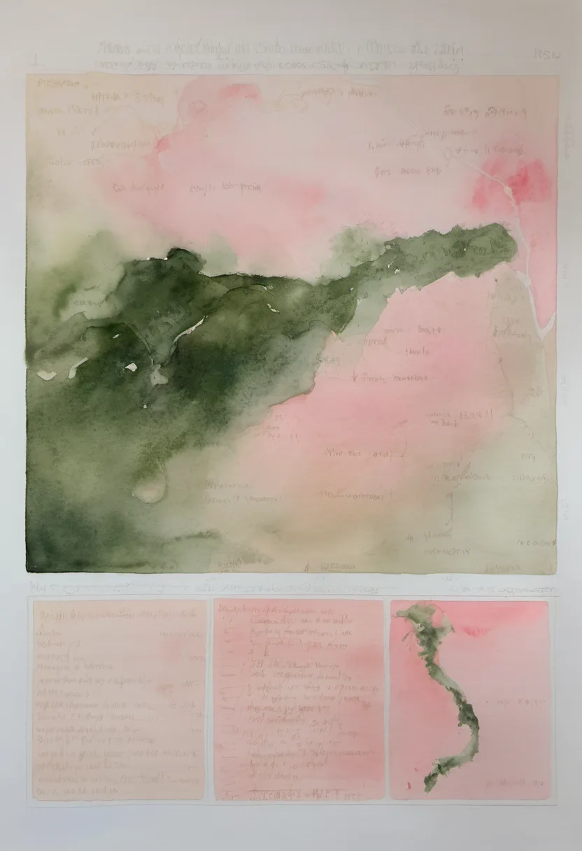
Duy Xuyen, Vietnam
Duy Xuyen does not announce itself. It lies in the fold of Quang Nam province, a district that exists in the space between the noise of the coast and the silence of the highlands. To walk here is to move through a landscape that has long served as a corridor, a place where trade routes once carried silk and porcelain, and where armies moved with heavy intent. Today, the weight of history has settled into the soil, leaving behind a quietude that rewards the slow observer.
The district is defined by its rivers, particularly the Vu Gia and Thu Bon, which carve through the terrain, offering a rhythm to life that is slower than the cities to the north. There are no towering skylines here, only the gentle slope of the land from the western mountains down to the eastern plains. The air carries the humidity of the tropical monsoon, but in the dry months, it is manageable, carrying the scent of wet earth and distant vegetation.
What makes Duy Xuyen matter is its role as a buffer zone, a place of transition. It was here that the Nguyễn lords consolidated power, and where the Tay Son rebellion reshaped the political map. Walking through its villages, you are walking through layers of conflict and reconstruction. The architecture is not monumental, but it is persistent. The wooden houses, the communal temples, the simple bridges over the streams—they speak of a community that has endured dynastic struggles and colonial shifts with a quiet resilience.
The reward for walking this district is the clarity of its geography. You can see the land’s intent: to channel water, to shelter trade, to provide a path from the sea to the highlands. The people here are not defined by the flash of tourism, but by the continuity of their daily lives. There is a dignity in this understated existence, a sense that the land itself is the primary architect of their history. To walk Duy Xuyen is to understand that Vietnam’s strength lies not just in its ports, but in these quiet, enduring interiors.
It is a place for those who prefer the map’s blank spaces to its crowded labels. The roads are quiet, the traffic sparse, and the view opens up to the distant peaks of Ngoc Linh. There is no need to rush. The district asks only that you look closely at the riverbanks, the old stone foundations, and the way the light falls on the rice paddies. It is a landscape that does not demand your attention, but earns it through its steady, unchanging presence.
Duy Xuyen is not a destination in the conventional sense. It is a district within the dissolved province of Quang Nam, a region that has undergone significant administrative changes, most notably its incorporation into Da Nang city in June 2025. But to understand Duy Xuyen, one must look beyond the maps and the borders. It is a place defined by its geography, a strip of land that stretches from the rugged western highlands to the flat, fertile plains near the South China Sea. This geographical position has made it a corridor of sorts, a place where different worlds meet and where history has been written in the language of movement and conflict.
The history of this region is deep and often violent. Human habitation here has been continuous for over 2,200 years, dating back to the Sa Huỳnh culture. But it was during the era of the Champa kingdom that Duy Xuyen’s location became strategically significant. The province was once the political and geographic center of Champa, a powerful city-state that controlled the trade routes of Southeast Asia. In 1307, the land was gifted to the Vietnamese Dai Viet in exchange for a marriage alliance, marking a turning point in the region’s history. The Cham people, who had built their wealth on the trade of luxury goods from the Central Highlands, gradually lost their political power as the Vietnamese expanded southward.
The expansion south, or ‘Nam,’ was not a peaceful process. It was a series of wars, dynastic struggles, and shifts in power. The Trịnh–Nguyễn War, which divided the country for decades, saw heavy fighting in this region. The Nguyễn lords, who fled their northern strongholds, made Quang Nam their base, and it was here that they consolidated their power. The primary city of Hội An, located within the broader province, was destroyed and rebuilt during the Tay Son rebellion, a testament to the region’s volatility. Duy Xuyen, lying just to the north of Hội An, was part of this turbulent landscape, a place where armies marched and where the fate of the nation was often decided.
As a trade hub, Quang Nam, and by extension Duy Xuyen, was a major port region in Southeast Asia. The Dutch, the Japanese, and the Chinese all had a presence here, trading in high-grade silk, porcelain, pepper, and Chinese medicines. The region was also a site of Western influence, where Alexandre de Rhodes, the Jesuit who developed the modern Vietnamese alphabet, worked. The military alliance with France, signed by Nguyen dynasty monarchs fleeing the Tay Son Rebellion, further cemented the region’s role as a gateway for foreign powers. The French colonization began here, during the Cochinchina campaign, and the Siege of Tourane was a pivotal moment in the colonial history of Vietnam.
The geography of Duy Xuyen is as defining as its history. The terrain slopes gradually from west to east, from the high mountains of the Truong Son range to the coastal plains. The western highlands, with peaks like Ngoc Linh at 2,598 meters, are rugged and remote. The midlands are a transition zone, and the eastern coastal plain is flat and fertile. The Vu Gia and Thu Bon rivers are the lifeblood of the region, providing water for agriculture and a means of transport. The climate is tropical monsoon, with heavy rains from October to December and drier conditions from February to August. This climate has shaped the agricultural practices and the settlement patterns of the people who live here.
Walking through Duy Xuyen, one notices the absence of grand monuments. There are no towering pagodas or imposing palaces. Instead, the landscape is dotted with small communal houses, simple bridges, and rice paddies that stretch out to the horizon. The architecture is functional, designed to withstand the heat and the rain. The people are resilient, accustomed to the challenges of living in a region that has seen so much conflict. They have built a life that is steady and enduring, rooted in the land and the rivers that sustain them.
The district’s role as a buffer zone is still evident today. It lies between the bustling city of Da Nang to the north and the quieter highlands to the west. This position has made it a place of transition, where urban and rural life intersect. The roads are quiet, the traffic sparse, and the air is often filled with the sound of birds and the rustling of leaves. It is a place that invites contemplation, a place where one can step away from the noise of the modern world and connect with the land.
There are legends associated with the rivers and the mountains, stories passed down through generations. Some speak of the spirits that inhabit the deep forests of the western highlands, while others tell of the heroes who fought in the wars that shaped the region. These stories are not just myths; they are a way for the people to make sense of their history and their place in the world. They add a layer of depth to the landscape, a sense that the land itself is alive with memory.
The cultural heritage of Duy Xuyen is subtle but significant. The province of Quang Nam is home to two UNESCO World Heritage sites: Hội An ancient town and Mỹ Sơn sanctuary. While these sites are located outside of Duy Xuyen itself, they are part of the same cultural continuum. The influence of Champa, Vietnam, and foreign traders is visible in the art, the architecture, and the traditions of the region. The people of Duy Xuyen are part of this broader cultural tapestry, contributing to its richness and diversity.
In recent years, the region has seen some development, driven by its proximity to Da Nang and its potential for tourism. However, Duy Xuyen remains largely untouched by the mass tourism that has transformed other parts of Vietnam. This is not a place for quick visits or superficial exploration. It is a place for those who are willing to slow down, to walk the riverbanks, to talk to the locals, and to listen to the stories of the land. It is a place that offers a glimpse into the true heart of Vietnam, a heart that beats steadily, quietly, and with enduring strength.
To walk Duy Xuyen is to walk through time. It is to see the layers of history, from the Sa Huỳnh culture to the Champa kingdom, from the Nguyễn lords to the modern republic. It is to see the impact of war and peace, of trade and colonization, of expansion and contraction. But it is also to see the resilience of the people, their ability to adapt and endure, to build a life that is both simple and profound. Duy Xuyen is not a city that shouts its importance; it whispers it, in the rustle of the rice, the flow of the river, and the silence of the mountains.